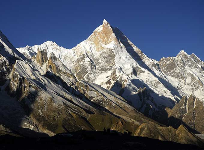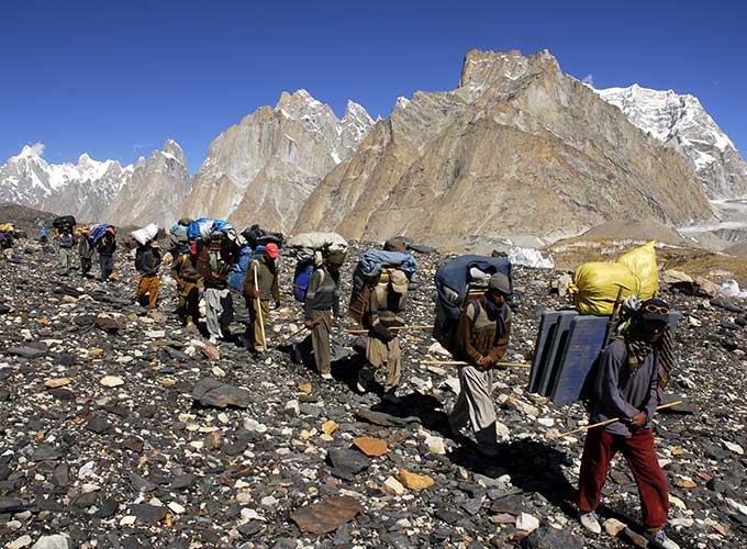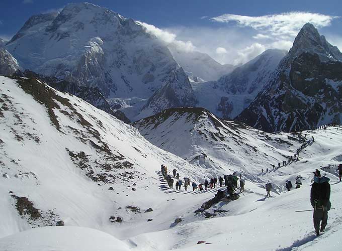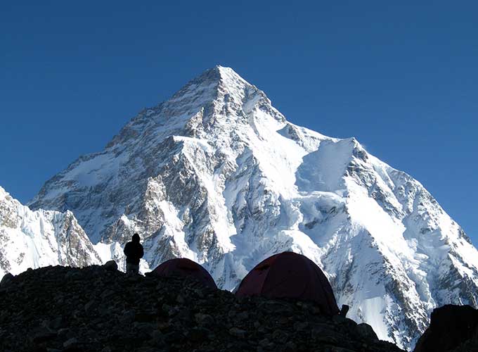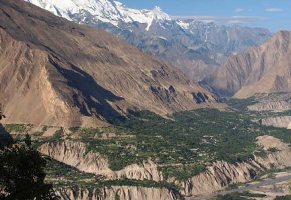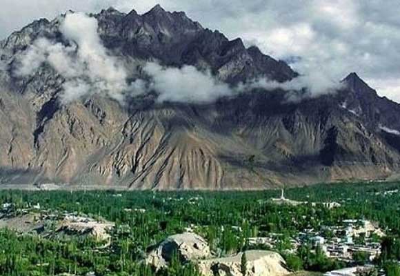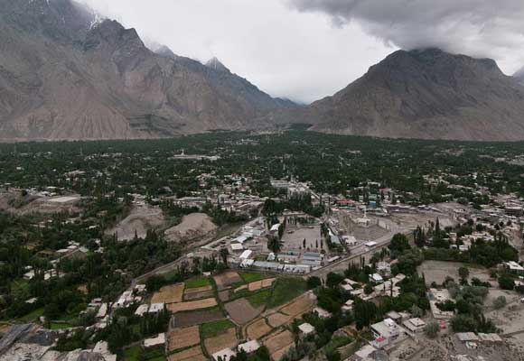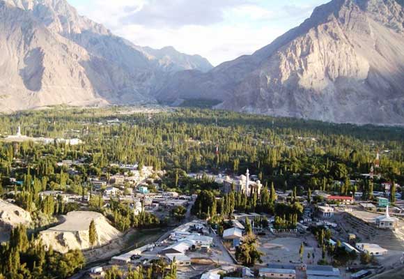
Rakaposhi Base Camp Location 2026 Map, Route & How to Reach dictates the structural planning for any adventure traveler seeking immediate proximity to the Karakoram’s great glaciated peaks. As an Adventure Pakistan market analyst tracking GCC prices, localized transport infrastructure developments, and hotel occupancy data across Gilgit-Baltistan, I can confirm that the geographic accessibility of Rakaposhi has positioned it as a highly sought-after alpine corridor for 2026. Understanding the precise regional coordinates, vehicular approach lines, and trail junctions is essential for executing a flawless journey to the foot of this 7,788-meter giant.
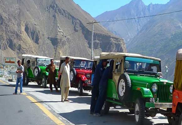
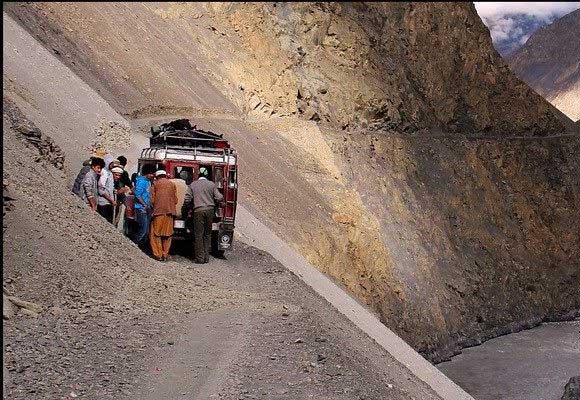
Unlike remote wilderness zones that require multi-day off-road jeep expeditions across unstable shale cliffs, the staging ground for the Rakaposhi base camp Hunza valley trek is remarkably straightforward to access. Positioned in the administrative territory of the Nagar Valley—which runs parallel to the legendary Hunza Valley—the route balances pristine wilderness isolation with easy proximity to the Karakoram Highway (KKH).
Overivew Rakaposhi Base Camp Location 2026
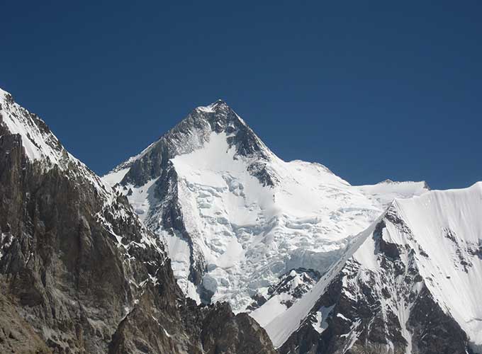
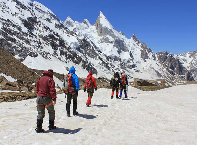
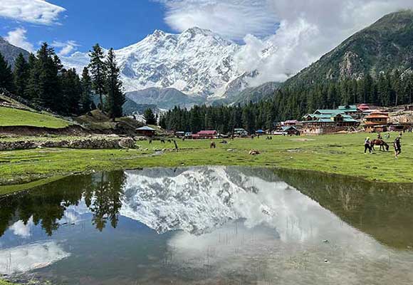
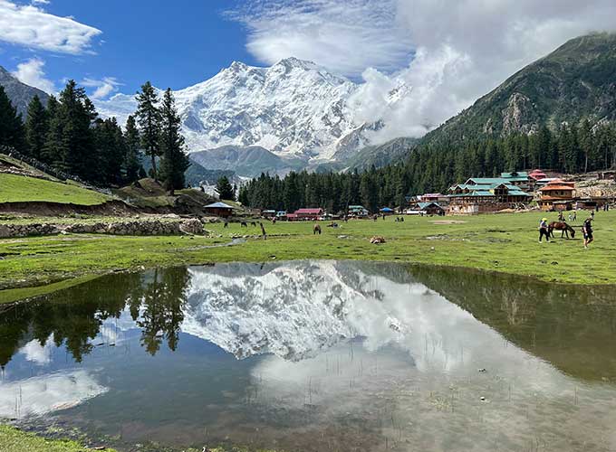
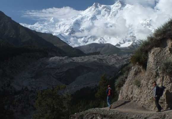
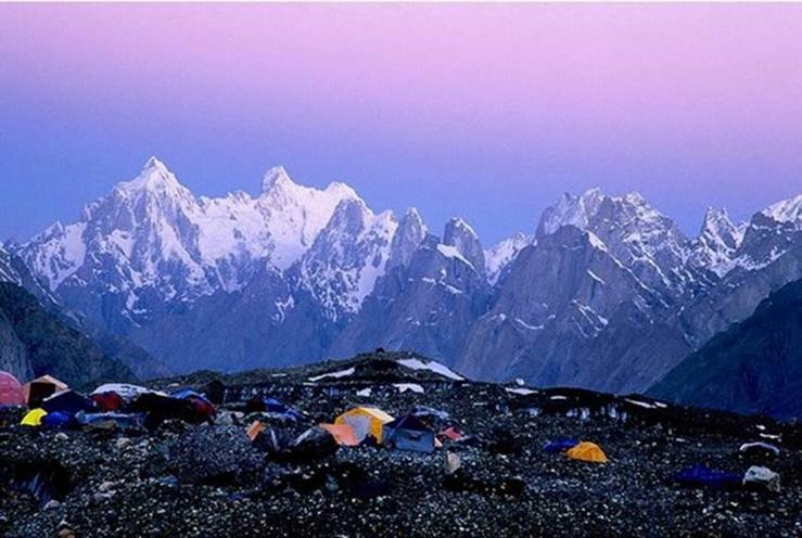
Rakaposhi Base Camp Location is one of the most searched topics for travelers planning a trekking adventure in northern Pakistan. The base camp is located in Nagar Valley, Gilgit-Baltistan, and is accessed from Minapin Village, approximately 45 kilometers from Karimabad in Hunza Valley. Sitting at an elevation of 3,500–3,800 meters (11,480–12,470 feet), it offers breathtaking views of Rakaposhi (7,788 m), glaciers, and alpine meadows. As an Adventure Pakistan market analyst following Pakistan’s trekking tourism, I recommend this route for its scenic beauty, moderate difficulty, and easy accessibility, making it an ideal destination for both beginner and experienced trekkers exploring the Karakoram Mountains.
Rakaposhi Base Camp Cost & Pacakges
Start |
End |
Status |
Price |
Deposit |
Registration |
|---|---|---|---|---|---|
19 May |
07 June |
Guaranteed |
$1500 |
$300 |
|
27 May |
15 June |
Guaranteed |
$1500 |
$300 |
|
03 June |
22 June |
Guaranteed |
$1500 |
$300 |
|
09 June |
28 June |
Guaranteed |
$1500 |
$300 |
|
16 June |
05 July |
Guaranteed |
$1500 |
$300 |
|
23 June |
12 July |
Limited Space |
$1500 |
$300 |
|
30 June |
19 July |
Limited Space |
$1500 |
$300 |
|
07 July |
26 July |
Guaranteed |
$1500 |
$300 |
|
09 July |
28 July |
SOLD OUT |
$1500 |
$300 |
|
14 July |
02 Aug |
Guaranteed |
$1500 |
$300 |
|
21 July |
09 Aug |
Guaranteed |
$1500 |
$300 |
|
28 July |
16 Aug |
Guaranteed |
$1500 |
$300 |
|
06 Aug |
25 Aug |
Guaranteed |
$1500 |
$300 |
|
13 Aug |
01 Sep |
Guaranteed |
$1500 |
$300 |
|
18 Aug |
06 Sep |
Guaranteed |
$2,355 |
$300 |
|
25 Aug |
13 Sep |
Guaranteed |
$1500 |
$300 |
|
02 Sept |
21 Sept |
Guaranteed |
$1500 |
$300 |
|
02 Sept |
21 Sept |
Guaranteed |
$1500 |
$300 |
|
09 Sept |
28 Sept |
Guaranteed |
$1500 |
$300 |
|
16 Sept |
05 Oct |
Guaranteed |
$1500 |
$300 |
|
23 Sept |
12 Oct |
Guaranteed |
$1500 |
$300 |
|
30 Sept |
19 Oct |
Guaranteed |
$1500 |
$300 |
|
07 Oct |
26 Oct |
Guaranteed |
$1500 |
$300 |
|
14 Oct |
02 Nov |
Guaranteed |
$1500 |
$300 |
|
21 Oct |
09 Nov |
Guaranteed |
$1500 |
$300 |
|
28 Oct |
16 Nov |
Guaranteed |
$1500 |
$300 |
|
04 Nov |
23 Nov |
Guaranteed |
$1500 |
$300 |
|
06 Dec |
25 Dec |
Guaranteed |
$1500 |
$300 |
|
08 Dec |
27 Dec |
Guaranteed |
$1500 |
$300 |
14-Day Rakaposhi Base Camp Itinerary (2026)
Day 1 – Arrival in Islamabad
- Arrive at Islamabad International Airport.
- Meet your trekking guide and transfer to your hotel.
- Trip briefing, gear check, and preparation for the journey.
- Overnight stay in Islamabad.
Day 2 – Drive from Islamabad to Chilas
- Begin your adventure along the famous Karakoram Highway (KKH).
- Pass through Abbottabad, Besham, and the scenic Indus River Valley.
- Enjoy spectacular mountain landscapes during the drive.
- Overnight stay in Chilas.
Day 3 – Drive to Minapin Village (Rakaposhi Base Camp Starting Point)
- Continue north toward Nagar Valley.
- Stop at the Rakaposhi View Point for panoramic photography.
- Arrive at Minapin Village, the gateway to Rakaposhi Base Camp.
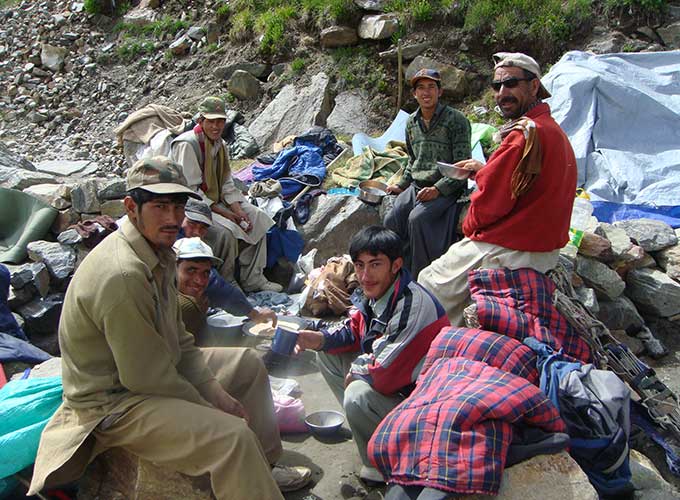
- Meet local porters and finalize trekking preparations.
- Overnight in Minapin.
Day 4 – Trek from Minapin to Hapakun Camp
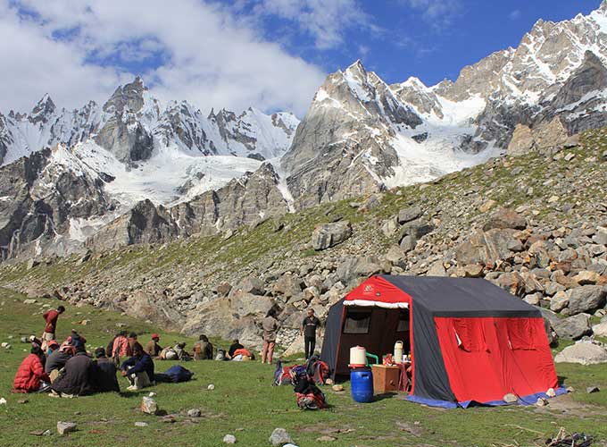
- Start the trek through lush forests and alpine meadows.
- Cross wooden bridges and mountain streams.
- Reach Hapakun Camp with stunning views of Rakaposhi Peak.
- Trekking time: 4–5 hours.
- Overnight camping.
Day 5 – Trek to Rakaposhi Base Camp
- Continue trekking toward Rakaposhi Base Camp.
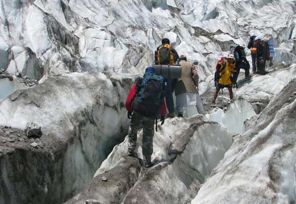
- Walk beside glaciers, rocky trails, and alpine landscapes.
- Arrive at Rakaposhi Base Camp (approximately 3,500–3,800 meters).
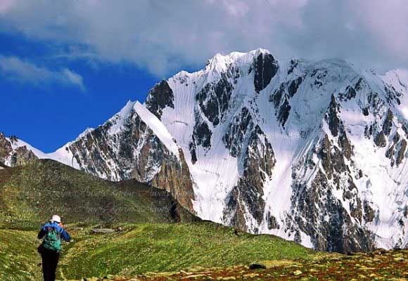
- Enjoy breathtaking views of Rakaposhi (7,788 m).
- Overnight camping at Base Camp.
Day 6 – Acclimatization Day at Base Camp
- Rest to adjust to the altitude.
- Optional short hikes to nearby viewpoints and glacier edges.
- Photography and exploration of the surrounding mountains.
- Overnight at Base Camp.
Day 7 – Explore Rakaposhi Glacier
- Guided excursion around the glacier.
- Learn about the local geography and mountain ecosystem.
- Return to Base Camp for another night.
Day 8 – Return Trek to Hapakun Camp
- Descend through alpine meadows and forests.
- Enjoy different perspectives of Rakaposhi and Diran Peak.
- Overnight camping at Hapakun.
Day 9 – Trek Back to Minapin Village
- Complete the descent to Minapin.
- Free time to explore the village and experience local hospitality.
- Overnight in Minapin.
Day 10 – Drive to Karimabad (Hunza Valley)
- Short drive to the beautiful Hunza Valley.
- Visit Baltit Fort, Karimabad Bazaar, and local cafés.
- Enjoy panoramic views of Ultar Sar and Ladyfinger Peak.
- Overnight in Karimabad.
Day 11 – Explore Hunza Valley
- Visit Altit Fort and Eagle’s Nest Viewpoint.
- Explore traditional villages and local handicraft markets.
- Experience Hunza’s famous hospitality and cuisine.
- Overnight in Karimabad.
Day 12 – Drive to Chilas
- Begin the return journey on the Karakoram Highway.
- Stop for scenic photography along the route.
- Overnight stay in Chilas.
Day 13 – Drive to Islamabad
- Continue south through the picturesque Indus Valley.
- I arrived in Islamabad.
- Farewell dinner with the trekking team.
- Overnight stay in Islamabad.
Day 14 – Departure
- Transfer to Islamabad International Airport.
- Departure for your onward destination, concluding your 14-day Rakaposhi Base Camp adventure.
Frequently Asked Questions (FAQs)
What is the exact location of Rakaposhi Base Camp?
Rakaposhi Base Camp is located in the Nagar District of Gilgit-Baltistan, Pakistan. The camp sits in an alpine basin called Tagaphari at an elevation of 3,500 meters, positioned on the edge of the massive Minapin Glacier system.
How do I reach the trailhead from Gilgit City?
You can travel north from Gilgit along the paved Karakoram Highway (KKH) for roughly 65 kilometers to reach the Nagar Valley region. From there, follow the clearly marked road signs to turn off the highway and drive 15 minutes up to the staging village of Minapin.
Is a 4×4 Jeep required to reach the start of the trail?
No. Unlike many wilderness treks in Pakistan that require specialized high-clearance off-road vehicles, the road connecting the Karakoram Highway to Minapin Village is fully asphalted. Standard sedans, vans, and tour coasters can easily reach the trailhead.
Where can I stay overnight before beginning the hike?
Minapin Village offers several well-equipped local guest houses and traditional hotels, complete with pleasant fruit orchards and dining facilities. Staying here the evening before your trek is an excellent strategy for rest and early morning trail deployment.
Is the location accessible on a map without an offline GPS app?
The trail from Minapin to Tagaphari is highly visible and follows a clear geographical corridor. However, cellular data coverage drops significantly once you leave the village. It is highly recommended to download offline maps or hire a local guide before heading up into the mountains.
Geographic Location and Coordinates
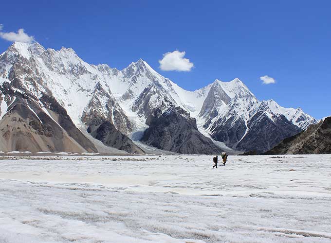
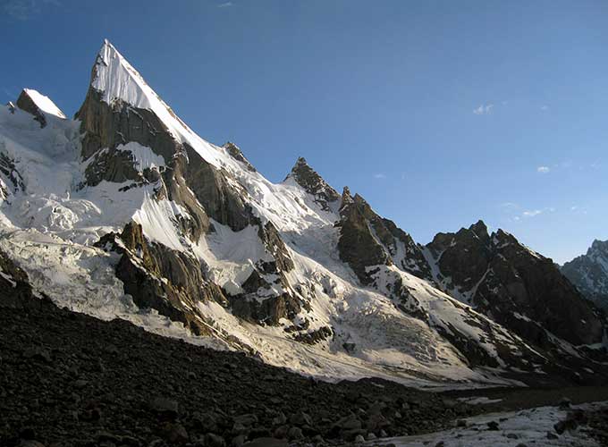
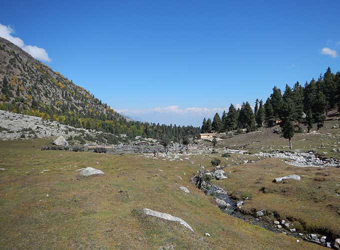
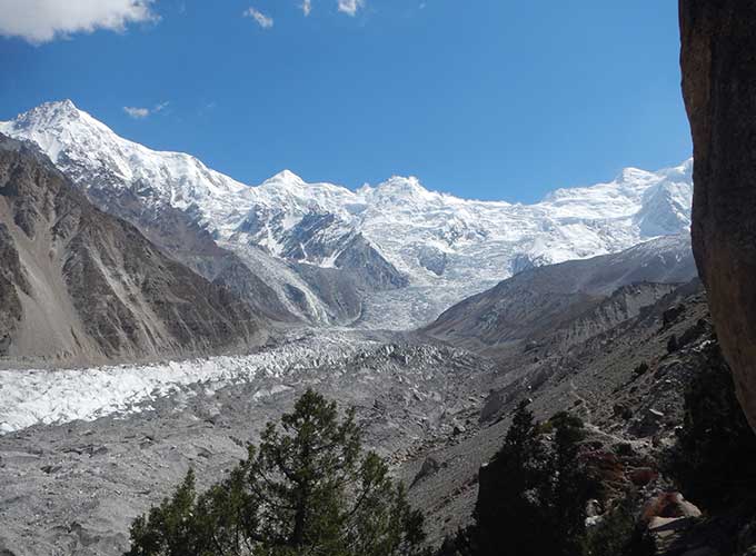
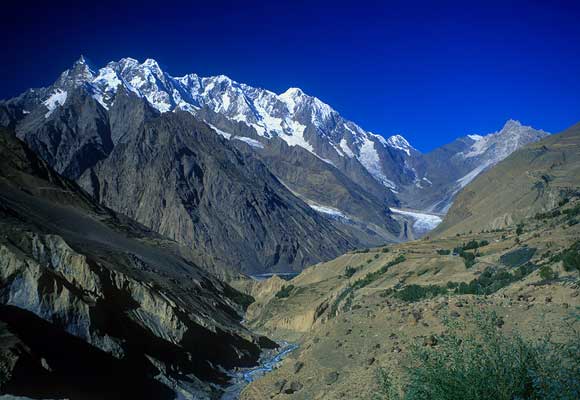
Geographically, Rakaposhi is a dominant southern sentinel of the Karakoram range. The base camp itself—known locally as Tagaphari—rests inside a natural amphitheater sculpted by the lateral moraine of the Minapin Glacier.
- Province: Gilgit-Baltistan, Pakistan
- District: Nagar District (often explored in tandem with the neighboring Hunza District)
- Base Camp Coordinates: 36.1956° N, 74.4178° E
- Trailhead Hub: Minapin Village (2,000 meters / 6,561 feet above sea level)
- Final Destination Elevation: 3,500 meters (11,482 feet) at Tagaphari Camp
Detailed Route Map & Transit Blueprint
Reaching the trailhead requires navigating a well-established transit corridor that moves travelers from Pakistan’s metropolitan hubs deep into the high alpine north.
Step 1: Arriving in Gilgit or Skardu
The most efficient approach to the location is via a domestic flight from Islamabad to Gilgit Airport. These flights are heavily dependent on clear mountain weather conditions. Alternatively, travelers can fly into Skardu Airport, which accommodates larger jet aircraft under flexible flight paths, or embark on a 16-to-20-hour overland journey along the Karakoram Highway via Besham or the scenic Babusar Top pass.
Step 2: The Overland Drive from Gilgit to Minapin Village
From Gilgit City, you will travel north along the smoothly paved Karakoram Highway. The journey treats you to sweeping views of the Gilgit and Hunza rivers. Approximately 65 kilometers (40 miles) north of Gilgit, you will cross the bridge entering the Nagar Valley territory. Look for the prominent highway signs marking the turnoff for Minapin Village. A short, 15-minute drive on a winding asphalt road off the main highway brings you directly to the village center.
Step 3: Walking the Trail Route (Minapin to Tagaphari)
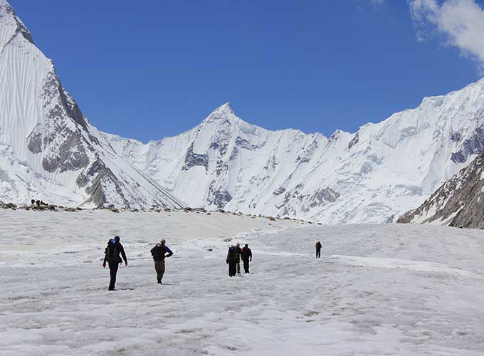
Once your vehicle drops you at the Minapin trailhead, the journey transitions into a pure mountain hike. The trail follows a distinct, logical progression up the canyon:
[Minapin Village: 2,000m]
│
▼ (3km of steep switchbacks)
[Bridge Crossing & Canyon Wall]
│
▼ (2km through alpine forest)
[Hapakun Meadows: 2,800m]
│
▼ (4km via lateral moraine ridge)
[Tagaphari / Base Camp: 3,500m]
Regional Context: Mapping Pakistan’s Trekking Circuits
The strategic northern position of the Nagar Valley makes it an ideal anchor point for broader adventure travel across Pakistan. While the legendary K2 Base Camp Trek and the technical pass transitions of the K2 and Gondogoro La Trek Pakistan 2026 sit further east in Baltistan, the western Karakoram offers rapid transitions between mountain isolation and rich cultural environments.
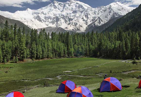
For those tracking deep-wilderness routes, the epic Snow Lake trek connects the Hispar glacier directly to the Biafo system within the broader Gilgit-Baltistan matrix. Conversely, if you are looking for classic, meadow-wrapped vistas without the steep vertical grade of Rakaposhi, the world-famous Fairy meadows Trek sits further south along the Indus River corridor at the foot of Nanga Parbat.
Beyond the mountains, travelers looking for a holistic understanding of Pakistan can easily complement an alpine journey with an immersive Indus valley civilization tour. You can also coordinate your arrival to witness the legendary equestrian battles of the Shandoor Polo festival, or explore the living heritage of the Hindu Kush mountains via a custom kalash festival tour in Chitral.
To assist you in selecting the ideal licensed booking agency for these varied routes, consider the specialized expedition categories detailed below:
Expedition Booking & Operator Directory
- The Karakoram Baltoro Expeditions:
- Partner with a trusted, top-tier operator by reserving space with an established K2 Base Camp Tour Company.
- Review all logistical line items by breaking down the total K2 Base Camp Tour Cost.
- Track seasonal inflation shifts in permit fees by checking the standard K2 Base Camp Price matrix.
- Secure domestic flights, hotel stays, and full porterage via an all-inclusive K2 Base Camp Tour Package.
- Commit to Pakistan’s definitive mountain pilgrimage by joining a comprehensive K2 Base Camp Tour.
- The Glacial Ice-Cap Traverses:
- Traverse pristine, high-altitude snowfields by registering for a Snow Lake trek Tour.
- Ensure strict safety standards on ice by coordinating with a vetted Snow Lake trek Tour Company.
- Evaluate your group size and personal gear allocations against the Snow Lake trek Tour Cost baseline.
- Monitor regional wilderness permit updates by checking the seasonal Snow Lake trek Price index.
- Secure experienced high-altitude rope masters by locking in an official Snow Lake trek Package.
- The Mountain Festival Journeys:
- Witness historical, unrefereed polo matches live on a Shandoor Polo festival tour.
- Secure high-ground tenting permits through a registered Shandoor Polo festival tour Company.
- Budget for private mountain jeep transport by analyzing the overall Shandoor Polo festival Cost.
- Review seasonal team schedules and ticket allocations via the Shandoor Polo festival Price ledger.
- Combine your sporting journey into a broader Gilgit-to-Chitral itinerary with a Shandoor Polo festival tour Package.
- The Nanga Parbat Eco-Escapes:
- Wander past the classic mirror lakes of Diamer district on a Fairy Meadows Trek Tour.
- Coordinate your local horse and porter logistics through a verified Fairy Meadows Trek Tour Company.
- Plan your personal mountain expenses against the standardized Fairy Meadows Trek Cost sheet.
- Ensure local mountain guide protection stipends are included in the Fairy Meadows Trek Price model.
- Streamline your regional accommodations by selecting a comprehensive Fairy Meadows Trek Package.
Understanding the operational details of Rakaposhi Base Camp Location 2026 | Map, Route & How to Reach highlights why this destination remains a cornerstone of accessible adventure tourism in northern Pakistan. By eliminating the need for complex off-road jeep transfers and positioning its trailhead just minutes off the smooth asphalt of the Karakoram Highway, the route provides a direct, efficient path into the heart of the Karakoram. By coordinating your overland travel to Minapin Village, utilizing offline mapping systems, and pacing your hike past Hapakun Meadows, you can position yourself directly beneath Rakaposhi’s towering wall of ice with absolute geographical confidence.
K2 Base Camp and Gondogoro La Trek
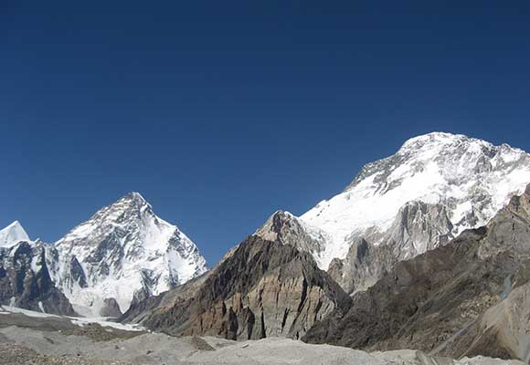
K2 Base Camp Trek
K2 Base Camp Trek Concordia
Mashabrum & Gondogoro BC Trek
K6/K7 BC Trek
Thalle La Trek Pakistan
Spantik Base Camp & Haramosh La Trek
Rakaposhi Base Camp Trek
Batura Glacier Trek
Patundas Trek
Shimshal Valley Trek
Tirich Mir Base Camp Trek
Wakhan Corridor Trek
Naltar Ishkoman Pass Trek
Darkot and Broghil Passes Trek
Around Nanga Parbat Mazeno Pass Trek
5X8000m Base Camp Trek

Great Karakorum Traverse Trek
K2 Expedition (8611m)
Nanga Parbat Expedition (8126m)
Broad Peak Expedition (8047m)
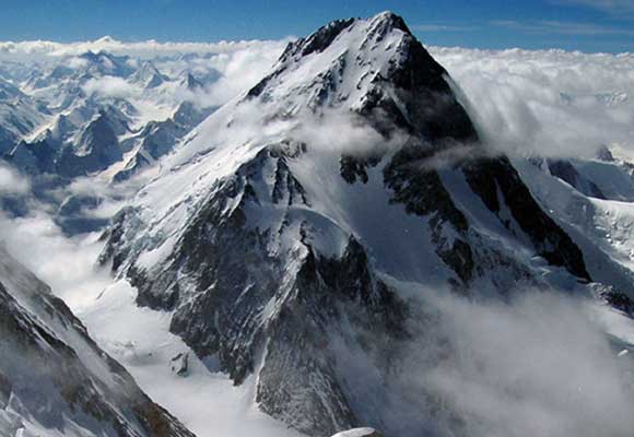
Gasherbrum 1 Expedition (8068m)
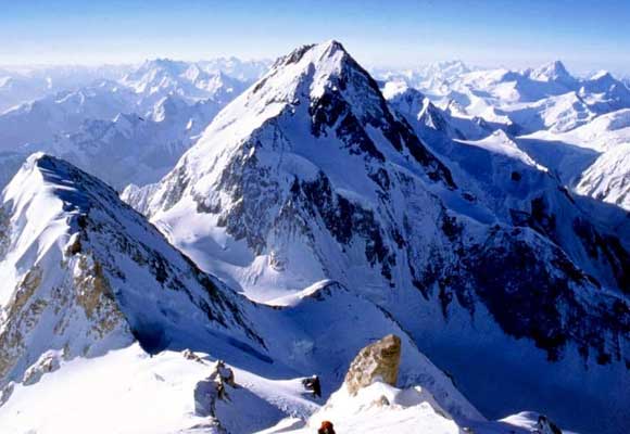
Gasherbrum II Expedition (8035m)
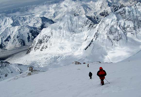
Gasherbrum III Expedition (7952m)
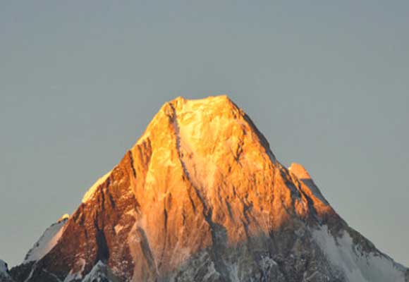
Gasherbrum IV Expedition (7925m)
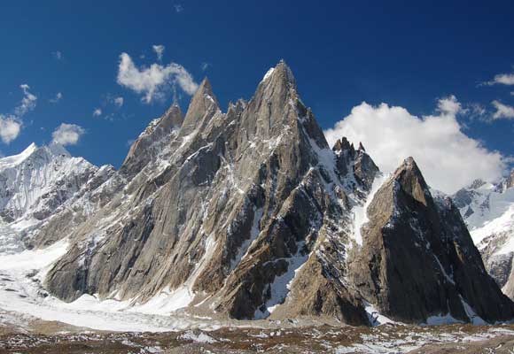
Masherbrum Expedition (7821m)
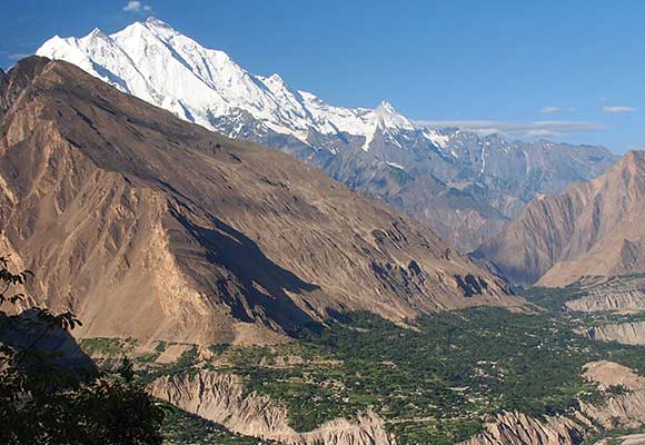
Rakaposhi Expedition (7788m)
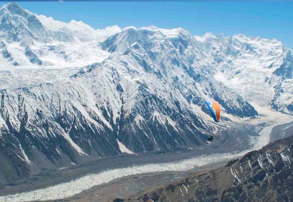
Batura Sar Expedition (7785 m)
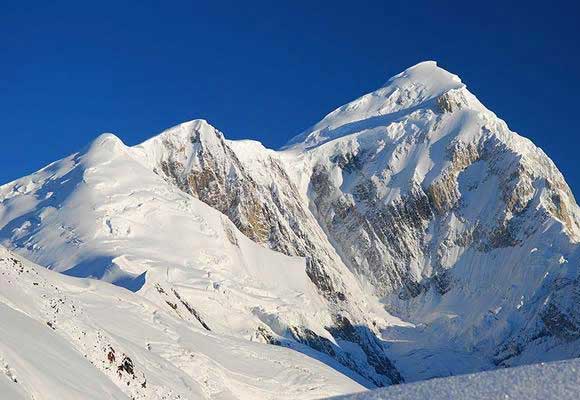
Tirich Mir Expedition (7708m)
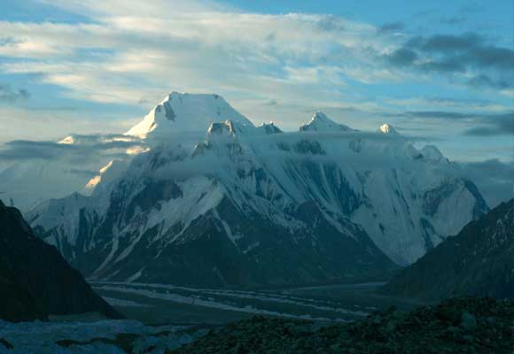
Chogolisa Expedition (7665 m)
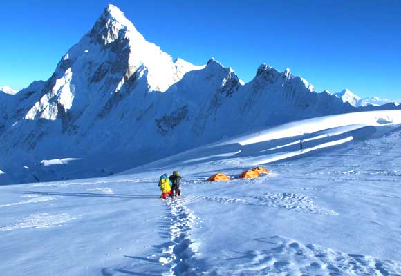
Passu Peak Expedition (7478m)
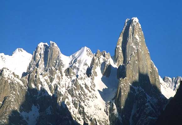
Muztagh Tower Expedition (7273m)
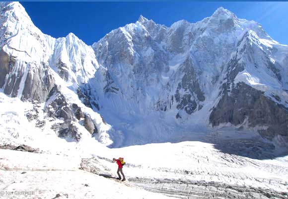
K6 Peak Expedition (6935m)
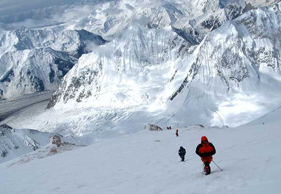
Diran Peak Expedition (7272m)
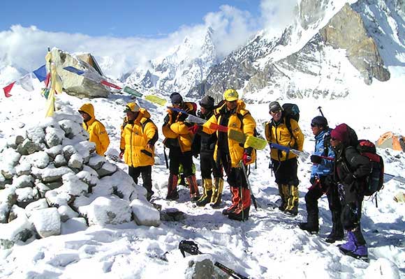
Latok 1 Expedition (7145 m)
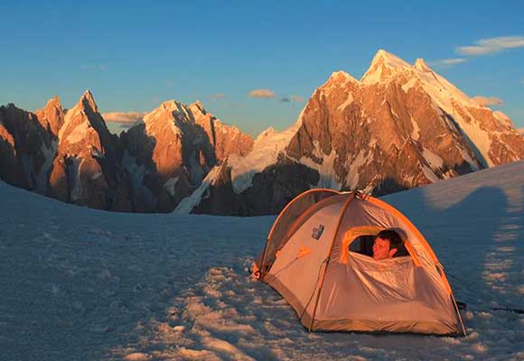
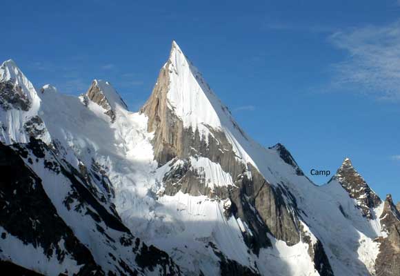
Laila Peak Expedition (6095m)
Minglik Sar Peak Expedition (6050m)
Rush Peak Expedition (5,098m)